
Cartographies of Concern
Cartographies of Concern
Sponsored By:
Research Assistants:
Date:
Awards
Office of the Vice President for Research and Taubman College of Architecture & Urban Planning
Christopher Canna, Kayla Lim, Sen Liu and Catherine Truong
2011
Office of the Vice-President for Research: Small Projects Grant, University of Michigan ($8,970), and Associate Dean Research Fund Taubman College of Architecture and Urban Planning ($5,000)
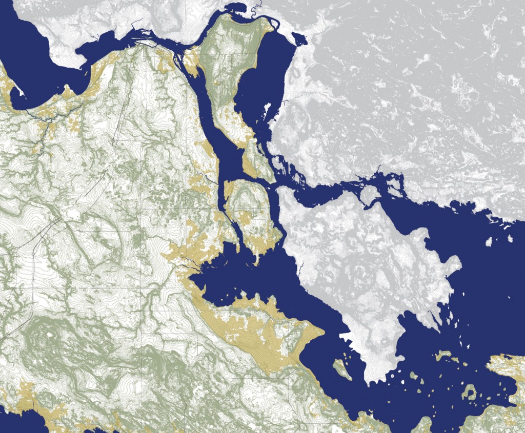
“Cartographies of Concern” explores the landscape qualities of the four straits that embody the continuity of the Great Lakes system: St. Mary’s River, St. Clair River, Detroit River, and Niagara River. These rivers are the only bi-national Areas of Concern in the Great Lakes Region, as jointly defined by the US and Canada. This classification indicates that the environmental health of the water in these zones is highly compromised and establishes a set of requirements for recovery as a priority for both nations. The project brings together the complex policy frameworks that define water quality standards with the material qualities of the landscapes along the shoreline of these four areas.